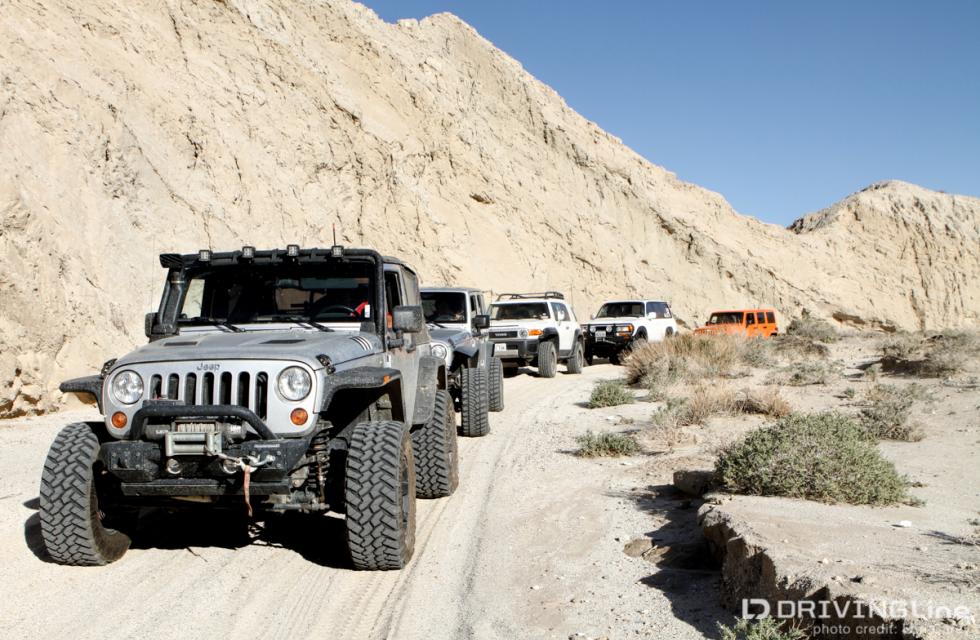
Off - Pavement Auto Route
Explore the most popular off-pavement driving trails in Anza-Borrego Desert State Park with hand-curated trail maps and driving directions as well as detailed reviews and photos from hikers, campers and nature lovers like you.
Click HERE for more information from AllTrails, and thanks to OhRanger for the following suggested routes:
Borrego Mountain Area / Latitude, Longitude: 33.19108, -116.20402
You'll find several interesting loop routes using Buttes Pass Road, Goat Trail and San Felipe wash. These routes are all in washes which may mean deep sand at times. Check current conditions before venturing out.
Carrizo Badlands / Latitude, Longitude: 32.87241, -116.14467
Start at the Carrizo Overlook on Highway S2 and enjoy the ride down Canyon Sin Nombre. Explore Carrizo Creek or Vallecito Creek or make a loop using Arroyo Tapiado and Arroyo Seco del Diablo.
Oriflamme Canyon / Latitude, Longitude: 33.01838, -116.48387
Heart-pumping scenic drive through remote canyon. Can be driven in either direction. Return via difficult Rodriguez Canyon to make a loop. Many historic mines and buildings. Excellent spring wildflowers. Mildly rocky with steep, narrow switchbacks. Suitable for stock 4x4 SUVs with high ground clearance. Possible snow during the winter months at higher elevations.
Pinyon Mountain / Latitude, Longitude: 33.05691, -116.42036
Starting at Pinyon mountain at about 4000 feet, you will see the incredible diversity of this area as you work your way down to sea level. The 28-mile route down toward Split Mountain offers some deep sand and a scary drop-off.This road is one way and not for a new off-road drivers.
Seventeen Palms / Latitude, Longitude: 33.25527, -116.11064
Seventeen Palms, is a popular destination for park visitors. Five Palms palm grove lies just a short distance away. They are accessible in a roundabout way via four-wheel-drive trails, or overland on foot as described here.
Split Mountain / Latitude, Longitude: 33.01410, -116.11206
Ride right through the split and enjoy the view from inside a mountain. This is a sandy road with a fairly gentle grade. Park at the mouth of the Fish Creek wash along Split Mountain Road. Ride in 4 miles to the Wind Caves trailhead. You can enjoy spectacular geologic formations at the Wind Caves as a unique side trip, if you are willing to leave your car or truck and walk.
Truckhaven Trail / Latitude, Longitude: 33.27127, -116.12051
Truckhaven Trail is not the same as Truckhaven Hills which is a difficult trail west of Salton city. A large part of this trail runs through private property with about 11 miles still open to hikers and private SUVs. The loose sand on the terrain gives this trail a moderate difficulty rating except for the intersections with the Arroyo Salado Trail and Calcite Mine Trail which is rated more difficult. Another section in the North Fork Arroyo Salado Wash is rated even higher. Choose these sections only if you are an experienced driver and capable of avoiding serious damage to your vehicle. Directions:Starting at Borrego-Salton Seaway (S22) east of Borrego Springs, the trail moves to the Santa Rosa Mountains. You pass by the Inspiration Point and Fonts Point Wash and can see the Clark Lake along the way. You drive down for about 2.9 miles on S22 and then turn south towards Arroyo Salado Wash. Campers can use the sites near this section.
